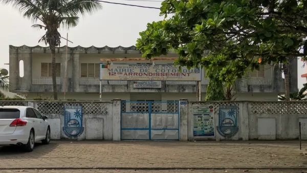
Government authorities have marked residential properties for demolition across several coastal municipalities in Benin. The affected locations include Akogbato, Fiyégnon, and Yèmi Codji in Cotonou, as well as Adounko in Ouidah and Agblangandan in Sèmè-Podji. Officials confirmed that the targeted zone spans a continuous stretch of land extending from Fidjrossè to Ouidah. These measures designate specific structures for removal as part of a broader urban development initiative. Property owners in these neighborhoods now face the mandated clearance of their homes to accommodate the government's spatial planning requirements. The demolition process impacts residential zones located along this coastal corridor.
Official Identification of Properties
Director General of Urban Development Ghislain Hounnou confirmed the ongoing identification process targets specific structures across the designated zones. According to Ghislain Hounnou, the procedure currently focuses on mapping homes and installations situated on state-owned land or within prohibited areas. Officials intend for this phase to establish a clear inventory of all assets slated for removal. The identification process is a systematic effort conducted by the Ministry of Urban Development to verify the legal status of each structure marked within the coastal strip. By cataloging these assets, the government aims to finalize the list of properties that fall under the new spatial planning regulations.
Residents living in Yèmi Codji organized a committee in September to respond to the markings placed on their properties. Members of this group seek to address concerns regarding the demolition process and the status of their homes following the government’s announcement. The committee represents a localized effort to engage with the authorities as the identification of structures continues in their neighborhood. This group of residents is actively coordinating to discuss the implications of the markings and to seek clarity on the timeline for the scheduled removals. Their formation marks a direct response to the physical indicators placed on their dwellings by urban development teams.
Government spokesperson Wilfried Léandre Houngbédji addressed property status in separate regions during September. Wilfried Léandre Houngbédji announced the government will repurchase properties that hold valid ownership documents in the Togbin area of Abomey-Calavi. The state initiated this repurchase program to address environmental drainage requirements identified in the coastal zone. Property owners in Togbin with legal documentation remain the primary focus of this specific acquisition effort. This repurchase initiative is distinct from the identification process occurring in other coastal municipalities. By focusing on the Togbin area, the government is attempting to manage the specific geographical and environmental challenges associated with drainage in that sector of Abomey-Calavi. The process involves verifying the validity of ownership documents for each affected parcel to ensure that the state acquisition adheres to established legal protocols for property compensation. Residents in these areas are now navigating the transition as the state moves to implement these environmental and spatial planning goals across the coast.